Partly sunny and 12C upon departure.
141 was very wet and a dumptruck trashed my clean face shield less than 3 miles from home.
Next I caught up to a vortex of dark clouds just past Magog that gave me a good soaking.
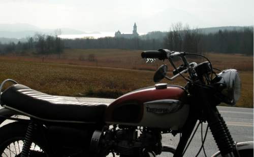
I began to thinking it was going to be a repeat of Monday's ride, but then I saw sun trying to break through towards the south as I turned onto Chemin Cooledge. By the time I got to Knowlton Landing it was a sunny day again!
I veered northwest on Chemin de la Vallee Missisquoi just before Highwater.
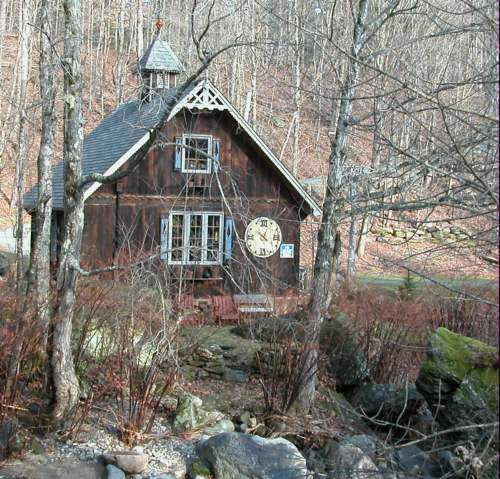
The Missisquoi Valley is a scenic gem with lots of interesting architecture, much of it in exquisite decay. The road that follows the river valley is itself in an advanced state of decay, so don't lean too hard into the twisties there or you might find yourself airborn and there are no smooth landing places!
I could only put up with the bumps as far as Dunkin, but there I took a right on Chemin Ruiter Brook and found a nice little diversion! On its way to the Missisquoi, Ruiter Brook washes around and over some pretty picturesque boulders and rock formations. Don't get too close to the edge! Quite a precipice in places, with nary but bailing twine and string (really!) between you and it.
Chemin Ruiter Brook was a dead end today because the bridge across the top of Ruiter Brook is condemmed and blocked with loads of sand. Easily enough gotten around on a bike, though.
I hung out for a while on the bridge, basking in the downright hot sun and listening to the Brook.
Curious thing is that the bridge doesn't appear on my map. There are many dead end roads in the area, though, due to Mont-Sutton. Those include Sargent, which had looked like an interesting explore from its bottom.
Chemin West Hill would appear to be an excellent bet, running from just north of Mansonville to Ruiter Brook, just north of Dunkin. Probably a lot better road than Chemin de la Vallee Missisquoi.
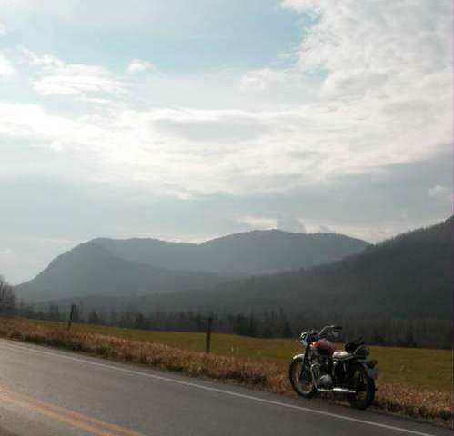
Dark clouds both sides of the border with light spittle in North Troy. After that the skies brightened and the sun shone for the rest of the journey.
At Beebe Plain I had to opt for blasting up 55 to get home in the nick of time before Grandfather strikes 2:15. (No, he's not started again).
Saw a handful of other bikes out - an old Honda outside of Magog, two Harleys near Austin, and some kind of modern bike on 141 outside of Ayer's Cliff.
Apart from today and one warm weekend day a couple of weeks ago I've only seen one other bike on the road during my travels in November (Knowlton Landing). Saw quite a few scooters, though. Ah, to have the heating system of a sixteen-year-old again!
According to Environment Canada, the average high temperature for Sherbrook on this day is minus 4C.
At 5:15 this evening the kitchen thermometer read 17C.