Big Falls is one of my favorite Vermont destinations. Although the falls are a Vermont state park, they're unmarked and off the beaten path, so relatively few people know about them apart from North Troy locals and anglers who ply the waters below them.
If you visit Big Falls, watch your step! There are no fences, railings, or warning signs and it's a long way down. Oh. And please take away your trash!
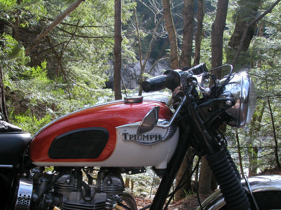
I ran across the falls accidentally after turning down River Road on the outskirts of North Troy. I actually rode right past, only seeing them when I doubled back to check out the trippy rock formations just above them.
The Falls are just about half-way around Lake Memphremagog starting from Magog Quebec and they are an ideal rest stop while circumnavigating Memphremagog. (For details of that scenic ride see November 6 on my Fall 2013 Calendar of rides).
If you follow River Road south past the Falls you come out in Troy. A nice ride on gravel, but when you reach Troy you're faced with the terrible cracked and heaved surface of VT 100.
The headwaters of the Missisquoi River are about half-way between Lowell and Troy VT. Only three or four miles downstream the river already has enough energy to operate a hydroelectric installation just outside of Troy.
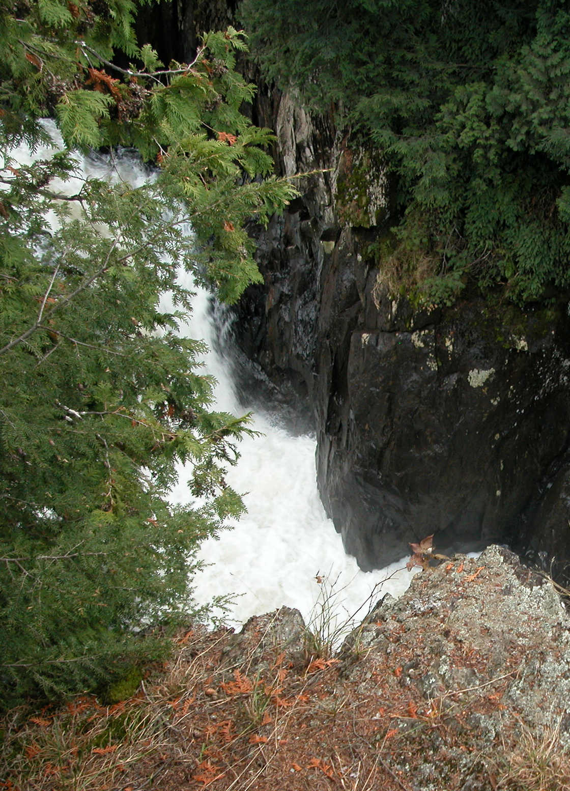
Four miles further downstream (again, as that crow flies) the River flows through the impressive rock formations and stunning gorge at Big Falls.
Below the Falls the River continues northward past North Troy and crosses into Quebec just east of Highwater.
After Highwater the River veers northwest, then west, and finally southwest, following a course that looks somewhat like an upside-down bowl. Thus, it returns to Vermont, east of Richford VT.
After crossing the border there, the River continues southwest all the way to Enosburg Falls. About six road miles west of Enosburg the River parts company with VT 105.
Route 105 heads southwest to St. Albans and the Missisquoi flows northwest (west and then north), past Swanton VT and then empties into the Missisquoi Bay of Lake Champlain.
Roger's Rangers crossed Missisquio Bay by canoe to enter Canada and embark upon their St. Francis raid in 1759.
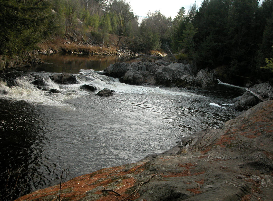
The Missisquoi River just above the falls
Entry to the falls
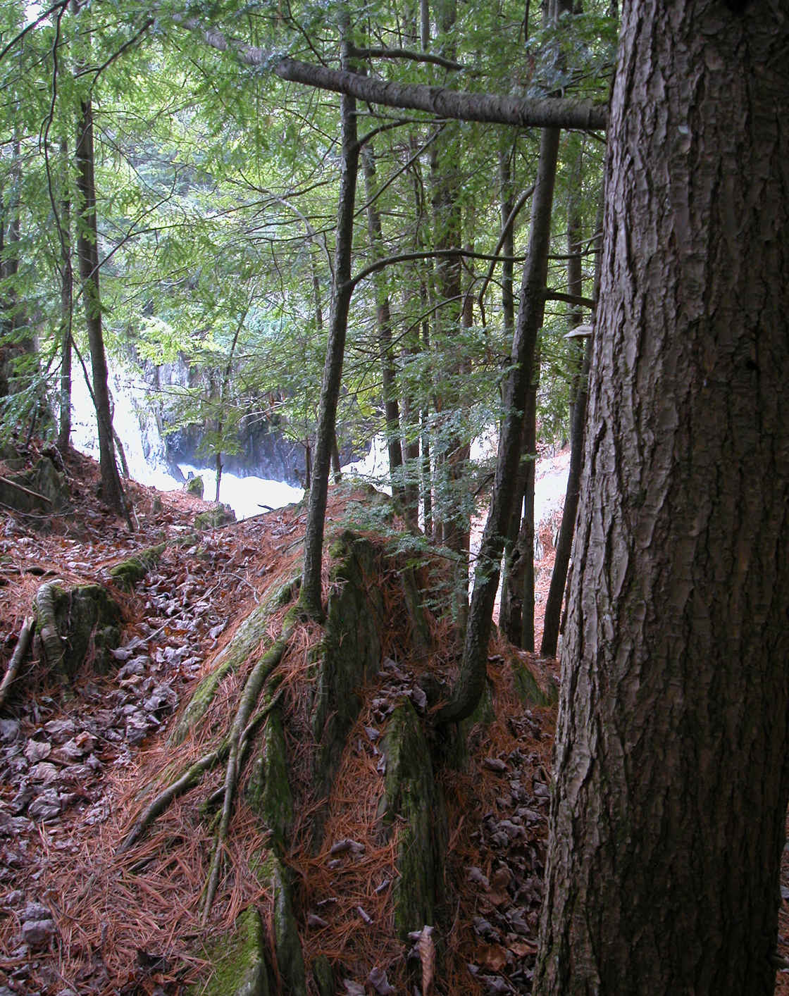
Foot path along the shoreline
Wobble holes
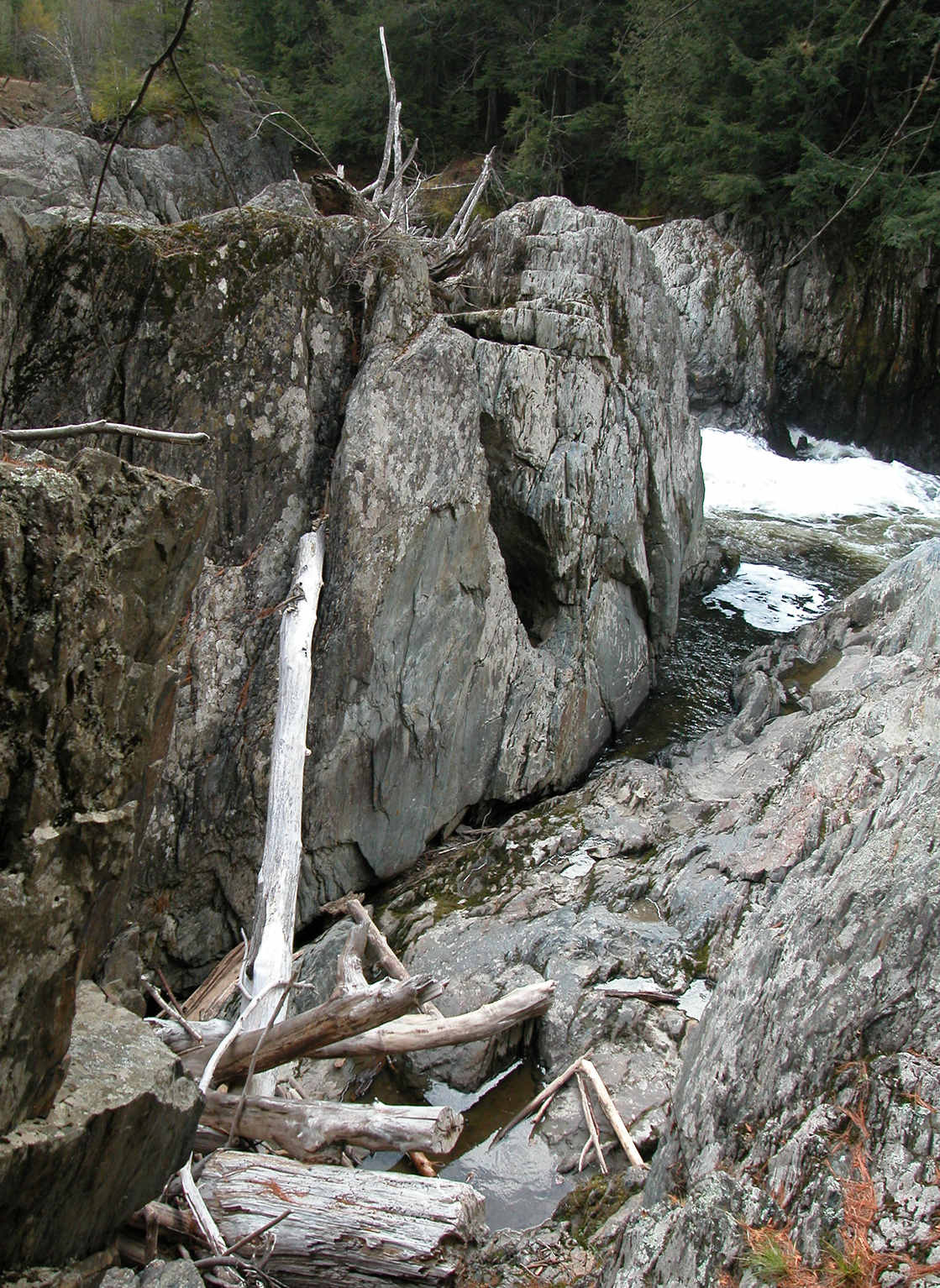
Wobble holes and jetsam from last spring
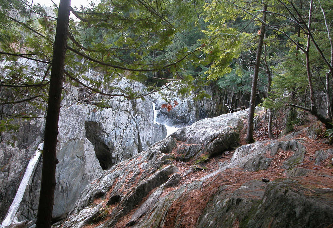
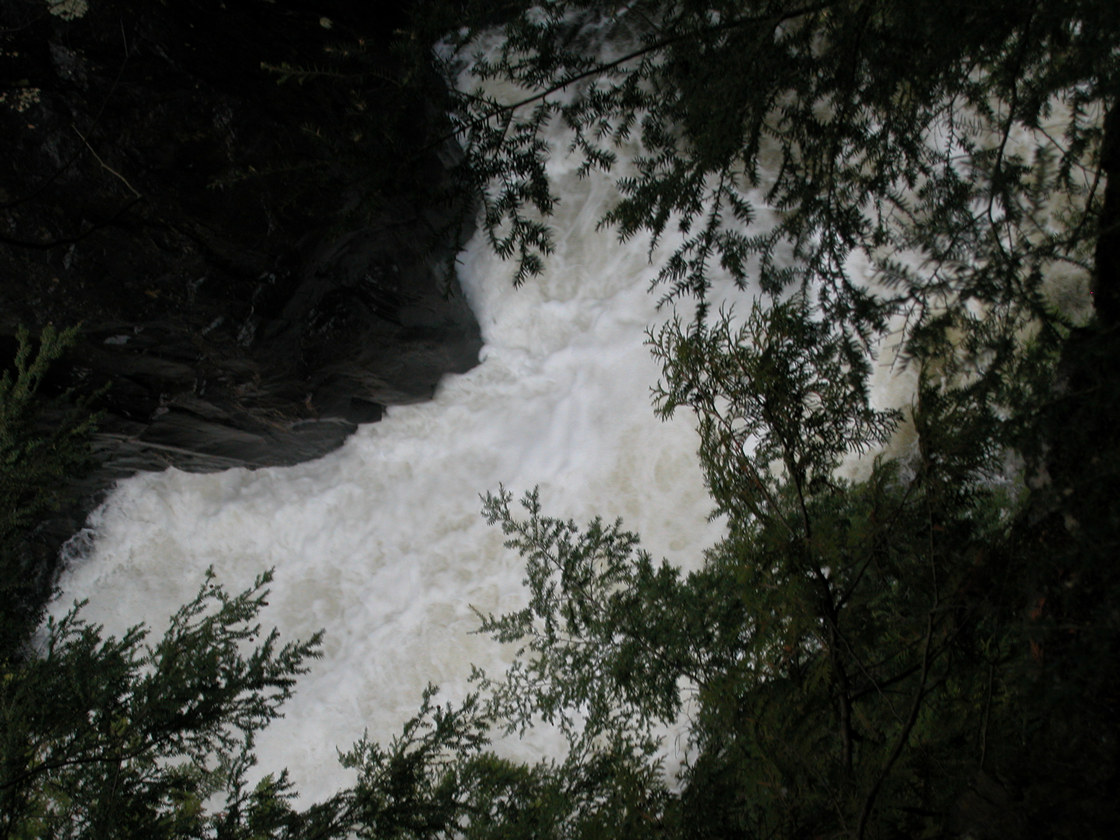
Falls just above the gorge
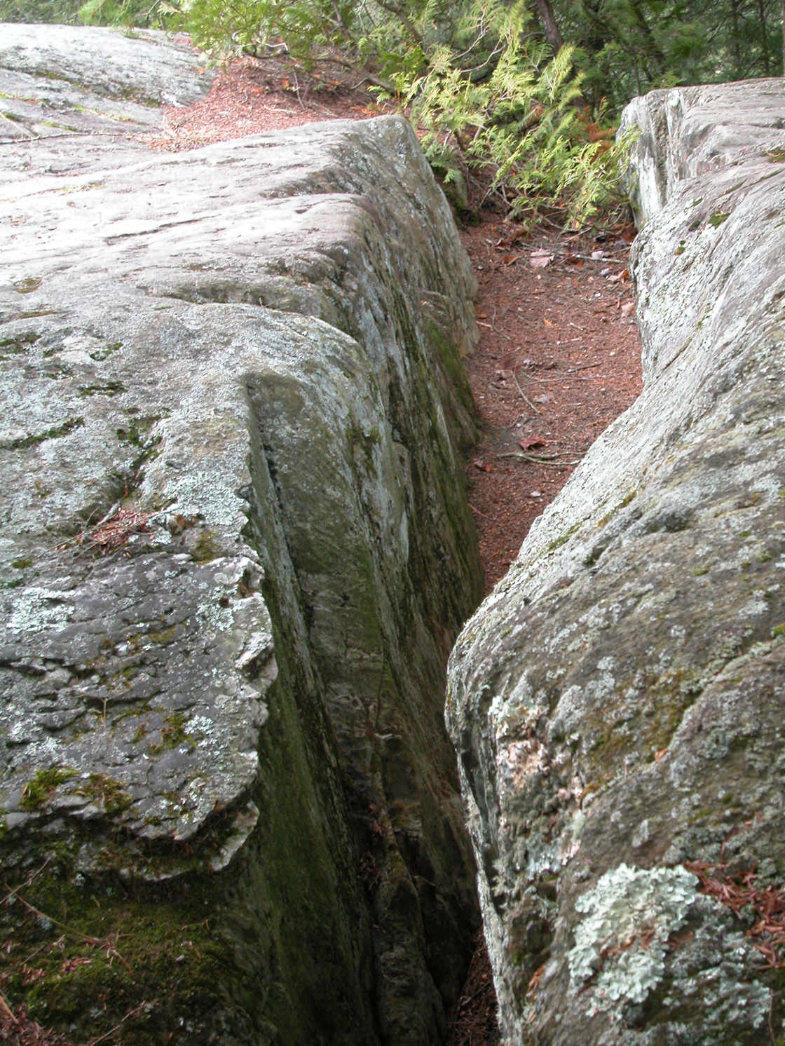
Entry to the gorge, basement level
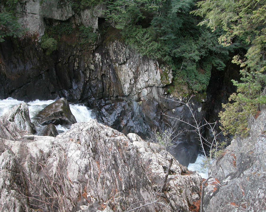
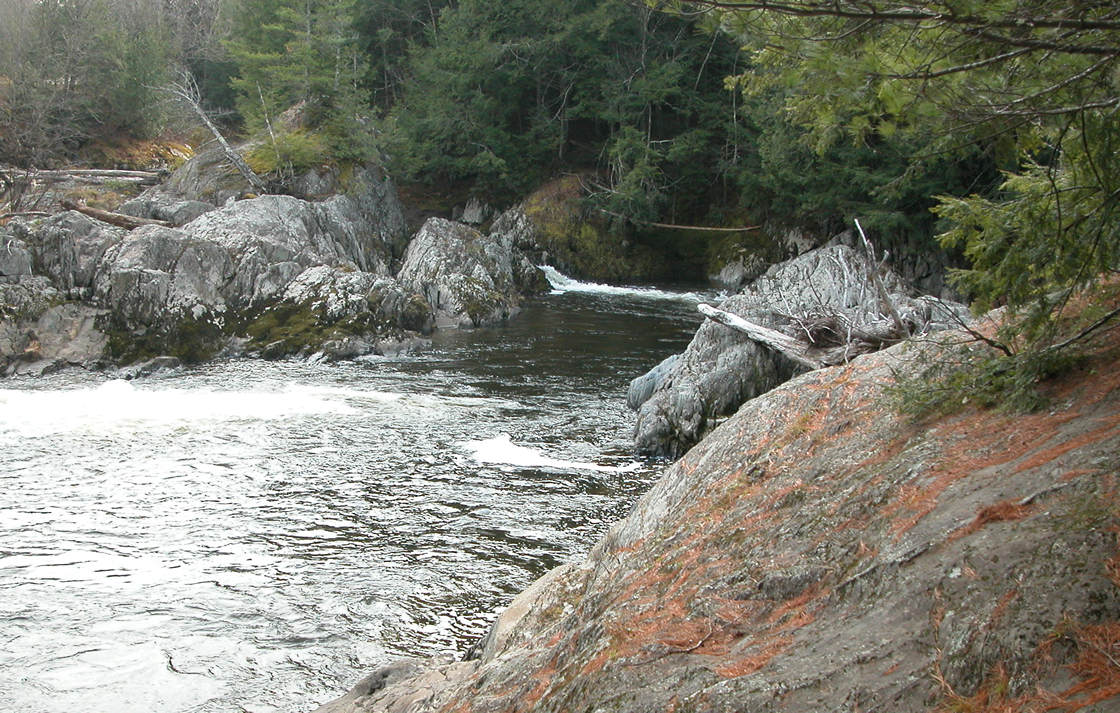
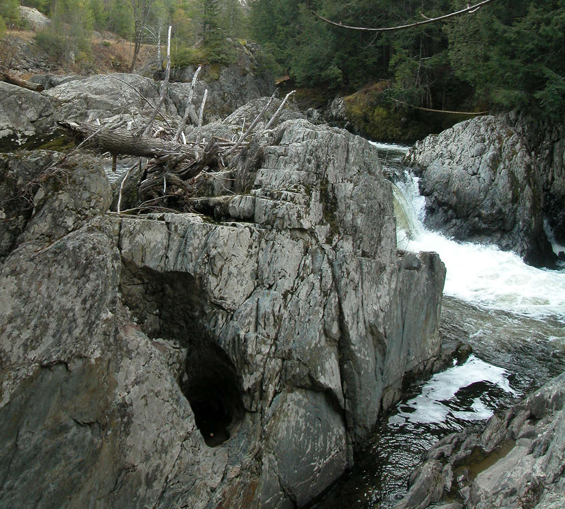
The gorge
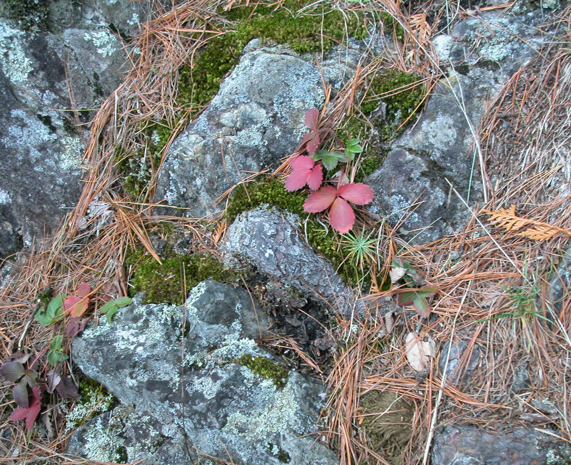
Wild strawberry
The gorge is just beyond the rock ledge. See that fissure in the rock?
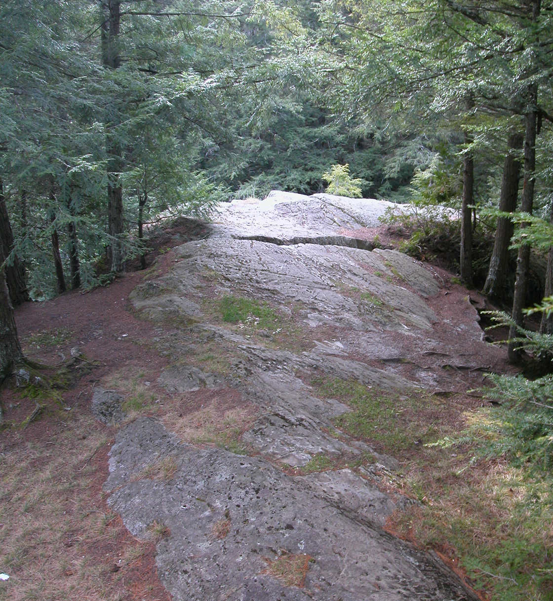
This is it - someday it will be at the bottom of the gorge
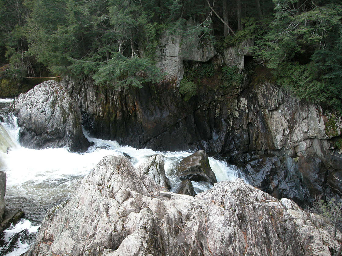
Looking down into the gorge from shoreline footpath

Looking over the edge
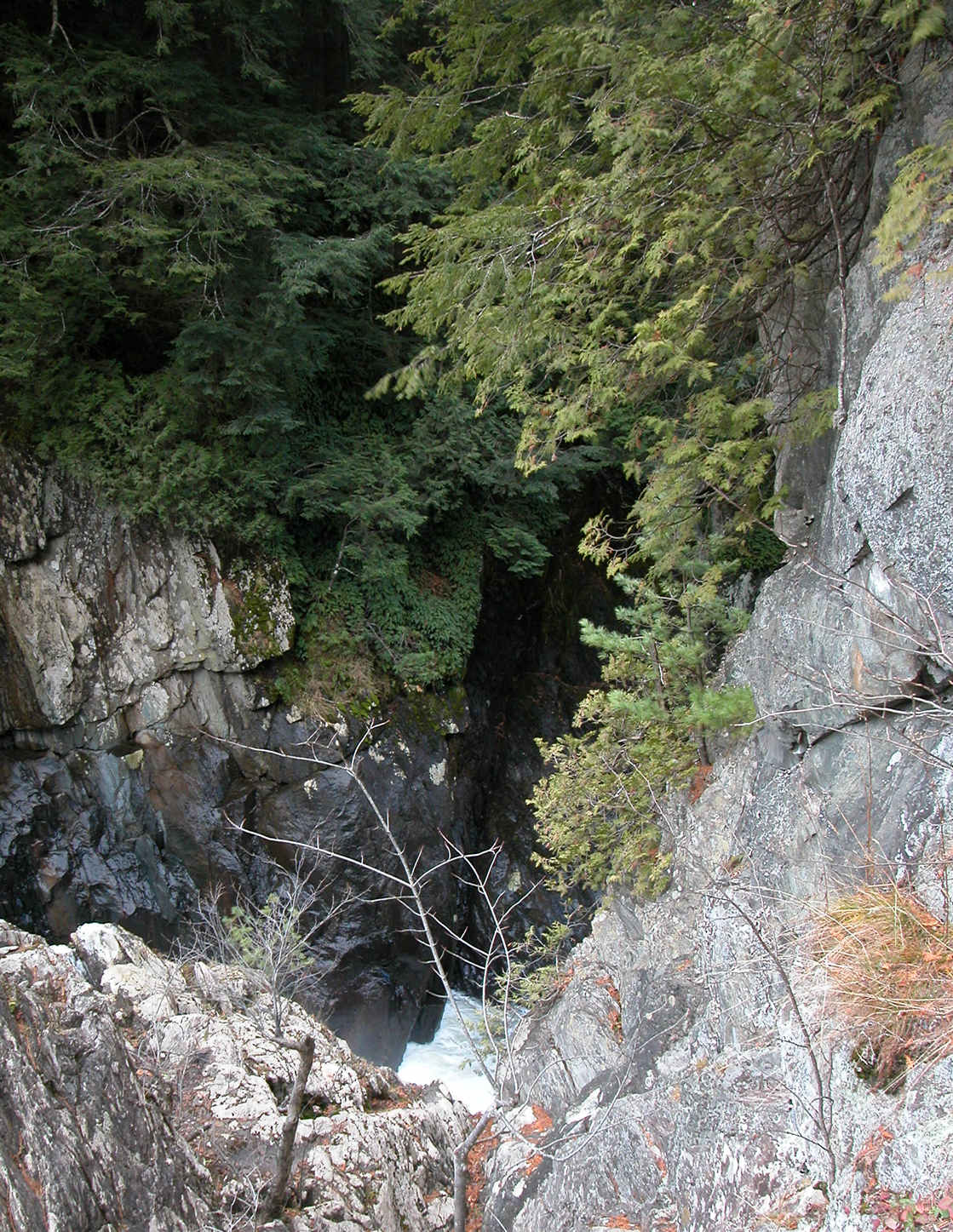
Looking up-river from the top of the gorge
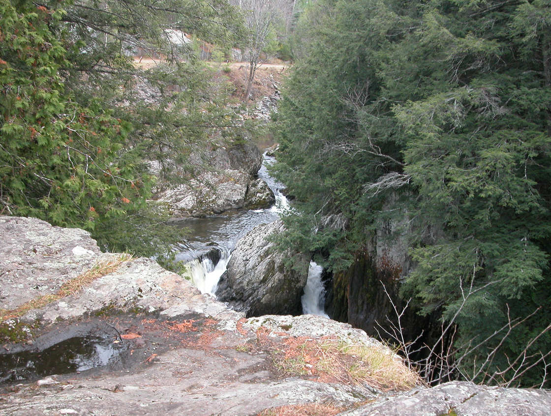
Looking down to the river from the top of the gorge
Pine and hemlock-needle covered forest floor

Climber's piton - someone rappelled down the gorge?